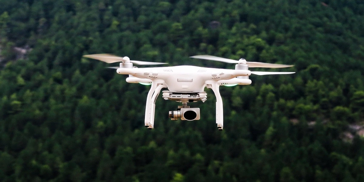
Drones for surveying and mapping are specialised unmanned aerial vehicles (UAVs) equipped with high-resolution cameras, LiDAR sensors, or RTK/PPK positioning systems, specifically to collect precise geospatial data.
Drone technology has fundamentally changed the way civil engineers and surveyors collect topographic data.
Tasks that once required several days of fieldwork with total stations and GNSS rovers can now be completed in a few hours using unmanned aerial vehicles (UAVs).
Recommended Deals
- 10 Best Laptops for Civil 3D and Revit Right Now
- 9 Best Monitors For Engineers and Architects 2026
- How to Choose the Best Laptop for Architecture in 2026
- The Best Gifts For Engineers To Make Them Smile in 2026
- Best Engineering Books For Engineers
- Best Laptop Brands For Engineers | All You Need To Know
- Home Furniture | Meaning and Type You Should Know In 2026
Please Note: This Post Contains Affiliate Links. I may earn a commission if you make a purchase, at no additional cost to you. As an independent Blogger, I use affiliate links to keep my website free. I only recommend products and services that add value to my readers. However, this is not a sponsored post. Learn More.
Modern Drones for Surveying
The modern drones for surveying should provide the following:
- Centimetre-level accuracy with RTK or PPK positioning
- High-resolution orthomosaic maps
- Digital elevation models (DEMs)
- Contour maps
- Stockpile volume calculations
- Construction progress monitoring
- 3D terrain models
Drones for Civil Engineers
For civil engineers, drones are particularly valuable for:
- Topographic surveys
- Road and highway corridor mapping
- Earthwork quantity estimation
- Mining surveys
- Site inspections
- Land development projects
- Environmental monitoring
In this comprehensive guide, we review the best drones for surveying and mapping in 2026, including their strengths, limitations, and ideal use cases.
What Makes a Good Surveying Drone?
Not every drone is suitable for professional surveying. Consumer drones can produce attractive aerial images, but they may lack the positioning precision and workflow integration required for engineering applications.
The most important features include:
- RTK or PPK Positioning: RTK (Real-Time Kinematic) and PPK (Post-Processed Kinematic) enable centimetre-level accuracy.
- Mechanical Shutter Camera: A mechanical shutter eliminates rolling shutter distortion, improving mapping precision.
- Long Flight Time: More flight time means greater area coverage and fewer battery changes.
- Ground Control Point Compatibility: Support for GCPs ensures survey-grade accuracy and quality assurance.
- Mapping Software Integration: Compatibility with software such as: DJI Terra, Pix4D, Agisoft Metashape, DroneDeploy, Bentley ContextCapture
- Regulatory Compliance: The drone should meet local aviation regulations and permit requirements.
Drones for Surveying and Mapping
1. DJI Mavic 3 Enterprise (RTK)
Best Overall Drone for Surveying and Mapping.
The DJI Mavic 3 Enterprise RTK is widely considered the industry standard for small- and medium-scale engineering surveys.
Key Specifications
- 20 MP wide camera
- Mechanical shutter
- RTK module
- Up to 45 minutes of flight time
- Omnidirectional obstacle sensing
- Foldable, highly portable design
Advantages
- Survey-grade accuracy
- Excellent portability
- Fast deployment
- Reliable DJI ecosystem
- Strong resale value
Limitations
- Smaller sensor than some premium platforms
- Limited payload flexibility
Best For
- Topographic surveys
- Construction sites
- Road projects
- Stockpile measurements
- Land development
2. DJI Matrice 400 + Zenmuse L3
Best LiDAR Drone for Professional Survey Firms.
This platform combines advanced flight performance with LiDAR capabilities, making it suitable for vegetation penetration and highly detailed infrastructure mapping.
Key Specifications
- LiDAR sensor with RGB camera
- RTK positioning
- High payload capacity
- Enterprise-grade redundancy
Advantages
- Works in forested terrain
- Produces dense point clouds
- Exceptional accuracy
- Suitable for utility and corridor mapping
Limitations
- Very expensive
- Requires specialized training
Best For
- Utility corridors
- Forested terrain
- Transmission lines
- Railway mapping
3. Wingtra Ray
Best Fixed-Wing VTOL Drone for Large Areas.
Wingtra Ray is designed for large-scale surveys where maximum area coverage per flight is critical.
Key Specifications
- VTOL (Vertical Take-Off and Landing)
- PPK positioning
- Long-range capability
- Professional mapping workflow
Advantages
- Covers very large areas quickly
- Excellent for corridor projects
- High-accuracy outputs
Limitations
- High initial investment
- Larger operational footprint
Best For
- Mining
- Agriculture
- Highway corridors
- Large infrastructure projects
4. DJI Phantom 4 RTK
Proven Industry Workhorse.
Although older, the Phantom 4 RTK remains one of the most respected mapping drones ever produced.
Advantages
- Highly accurate
- Mechanical shutter
- Extensive industry adoption
- Strong community support
Limitations
- Bulkier than modern foldable drones
- Legacy platform
Best For
- Budget-conscious professionals
- Firms buying used equipment
5. SenseFly eBee X
Best Fixed-Wing Drone for Ultra-Large Surveys.
The eBee X is a professional fixed-wing drone designed for extensive mapping operations.
Advantages
- Extremely long endurance
- Large coverage area
- Multiple sensor options
Best For
- National infrastructure projects
- Mining concessions
- Large-scale topographic mapping
6. DJI Matrice 350 RTK
Best Modular Enterprise Platform.
The Matrice 350 RTK supports multiple sensors, including photogrammetry and LiDAR payloads.
Advantages
- Highly versatile
- Rugged design
- Redundant systems
Best For
Engineering firms need one platform for multiple applications
Check Price On Amazon7. Parrot Anafi USA
Lightweight Professional Inspection Drone
A compact drone designed for professional inspection and mapping applications.
Best For
- Quick site assessments
- Infrastructure inspections
8. DJI Mini 5 Pro
Best Entry-Level Drone for Construction Monitoring
While not a true survey-grade platform, the Mini 5 Pro is useful for documentation and visual progress tracking.
Best For
- Construction photography
- Marketing imagery
- Preliminary reconnaissance
Essential Software for Drone Mapping
Survey-grade results depend on both hardware and processing software.
Recommended software includes
- DJI Terra
- Pix4D Mapper
- Agisoft Metashape
- DroneDeploy
- Bentley ContextCapture
- Autodesk Civil 3D
Outputs of Drones for Surveying and Mapping
The outputs of surveying and mapping drones can be imported into:
- AutoCAD
- Civil 3D
- ArcGIS
- QGIS
- Revit
- ETABS (for certain terrain workflows)
Accuracy Expectations
With proper flight planning and adequate ground control, survey drones can typically achieve:
- Horizontal accuracy: 1–3 cm
- Vertical accuracy: 2–5 cm
Actual results depend on:
The actual results of Drones for Surveying and Mapping depend on:
- GNSS conditions
- Ground control quality
- Camera calibration
- Terrain characteristics
- Operator experience
Final Verdict
The best drones for surveying and mapping in 2026 are the DJI Mavic 3 Enterprise RTK. It provides professional-grade accuracy, excellent flight endurance, and a mature software ecosystem at a price point accessible to many engineering firms.
If your work involves forested terrain or advanced infrastructure projects, LiDAR platforms such as the DJI Matrice 400 with Zenmuse L3 may justify their higher cost.
For More Drones for Surveying, please visit here. Furthermore, visit our WebsiteForEngineers Deals page for more great news.
Like Our Page On Facebook | Share — to educate another engineer today!

")